
Being well aware that the school semester started on Monday I needed to get out and do a little backpacking with the time that I had left even if it was only for a couple of days. Plus, I wanted to try out an important new piece of gear. I retired my old "Zip" pack from Mountain Laurel Designs that I've had and used extensively since 2007. I had cut the hip belts this summer figuring I wouldn't need them anymore but I overestimated how my shoulders would be able to handle the entire load and the entire 9oz pack was starting to look pretty shabby. It has been great to me and has never failed in any respect on any of the trips that included on/off trails domestic and overseas.
Overall, I liked the design of the pack in terms of functionality that I decided to get a similar style of pack. Instead of getting the updated version of the Zip from MLD, the Exodus, I decided to get the ULA CDT for a few reasons: the 5 week wait at MLD to make the gear, the price ($50 cheaper), hip belt pockets, and the desire to try something new. In terms of main pack volume the CDT is slightly smaller but I have my 3-season gear dialed down and I typically had excess space in the Zip. Other than that I pack it the same and took off some of the bells and whistles the ULA packs come with.
What I soon discovered was pure elation on ability to carry weight comfortably and accessibility to items. On this trip I had one cache and carried 4L of water at a time with a few days of food. Most of the 50 mile loop of West Joshua Tree NP was pretty straight forward and saw some great weather albeit relentless cold 30mph winds during the night; and with no shelter, a very bright moon, and 12 hours in the sleeping bag it made for a rough sleeping night, if you can call it that. The next day saw an unexpected deviation from what was supposed to be a routine trek. The Bigfoot Trail, which is marked on the National Geographic Trails Illustrated series maps, follows a wash through a wash-mired flat land enclosed by unnamed peaks. I first lost the "trail" when it intersected what looked to be a large recent wash. I saw what looked like horse prints up the wash where I saw a sign for a trail not marked on the map. So I backtracked and pulled out my compass. I knew the general vicinity of where I was and I figured if I headed west I would run into it. Sure enough there was something so I followed but fifty yards later it disappeared. However, I continued to follow what I believed were a series of washes and game trails. An hour later I found myself out in an expansive valley surrounded entirely by desert mountains and no idea whether a path existed anymore. With a 1:80,000 scale the trails illustrated maps are produced in don't really give you enough detail when off trail in a landscape full of seemingly random rock formations and unnamed peaks. I told myself that if I didn't find a way through these mountains ahead of me by 1pm, I would retrace my steps and head back, assuming I could find the way. I also had an extra 2L of water just in case I had to stay an extra night out there.
So I started a scramble and bushwhack up the first set of mountains. What stood before me was another cluster of mountains so I oriented my compass and headed to the top of the second set. Fortunately, this area of JTNP was traversable without Class 4/5 excursions so it was pretty straightforward cross-country hiking. At the top of the second set of mountains I saw another set in front of me. This would repeat two more times and the entire time I'm headed due West. Finally, I reach an area that is a high plateau and look on my map and estimate where my current location is and then I head due south hoping in a couple of cross country miles that I'll hit an old dirt road. Sure enough after I finally reach the southern border of the mountains I glance upon Covington Flat and see the thin sliver of dirt road. Finding the best option of descent I scramble and weave my way through loose sandstone boulders and sharp desert fauna (evidenced by several lodged pricks in my calf and thigh) to finally hit the road. What was supposed to be a routine day turned out to be one little mini-adventure. I was slightly worried at one point but kept myself focused and moving. Even though I've done some cross-country travel before I'm usually with another person so this was my true first solo cross country experience. I certainly came out of it the better for it and thank goodness for a compass. As for the pack, well I didn't take it off once from 630am-430pm; I didn't notice it, even with 4L of water.

 |
| Mt. San Jacinto |

 |
| Mt. San Antonio (Mt. Baldy) |


 |
| Cool little ridge walk |
 |
| Silver Cholla Cactus |

 |
| Brittlebush |
 |
| Lunch |

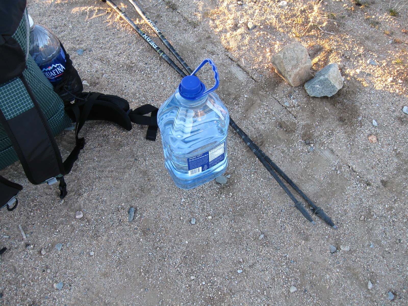 |
| Water Cache |
 |
| Very windy night didn't allow for much sleep |
 |
| Moon setting with Mt. Baldy in the distance |
 |
| Lost all signs of a path |
 |
| Starting to x-country the first set of mountains |
Thanks for posting the pictures. I've never been but my girl and I are going next month so hopefully its as nice as it looks.
ReplyDeleteThanks, Todd